TotaLite patented optical monitoring system
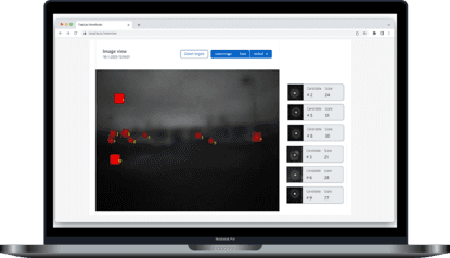
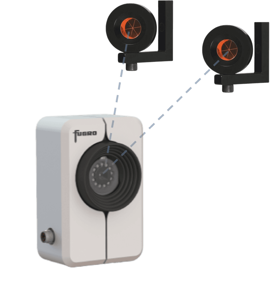
The patented TotaLite system scans its environment with optical sensors, captures images, identifies the position of retroreflectors and converts sub-pixel changes into displacements. TotaLite uses a unique optics method to ensure the required accuracy and long-term stability. A single measurement results in a blurry image with crystal clear reflections from the retroreflectors.

Wireless and remote monitoring platform
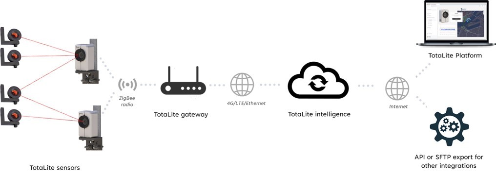
The TotaLite Sensor transmits the monitoring data to the TotaLite Gateway over a wireless mesh network. The TotaLite Gateway must be connected to the internet and transmits the images to the TotaLite Cloud. In the cloud we process the data into the relevant answers: information, dashboards and alerts for our customers. Our system also offers APIs or SFTP exports for preferred integrations.
Enhance data quality through advanced data processing
In the cloud our TotaLite intelligence system converts the images in angular displacements. As we look at very tiny motions, we need to account for motions of the TotaLite sensor as well. With control or reference points in the field and in-house sensors, we allow for accurate corrections for both rotations and translations.
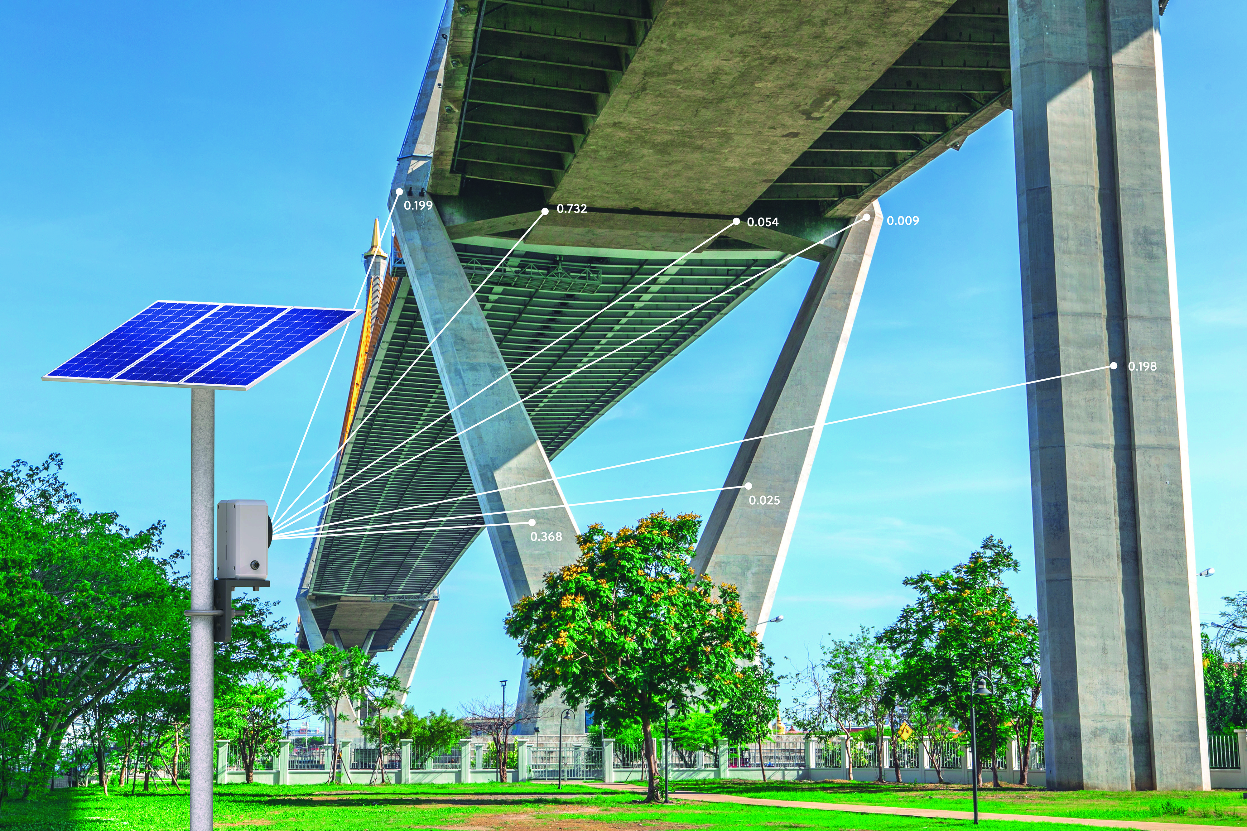
By using multiple sensors in a network, 2D measurements can be upgraded to 3D measurement while also the robustness and accuracy of measurements can be improved and optimized.
Want all specs? Download our Data Sheet
Collecting accurate displacement data was never this easy!
How to get started?
Or
Free 60-day trial
Explore TotaLite for free for 60 days. Sign up now and receive your equipment and login details to start the TotaLite journey.


